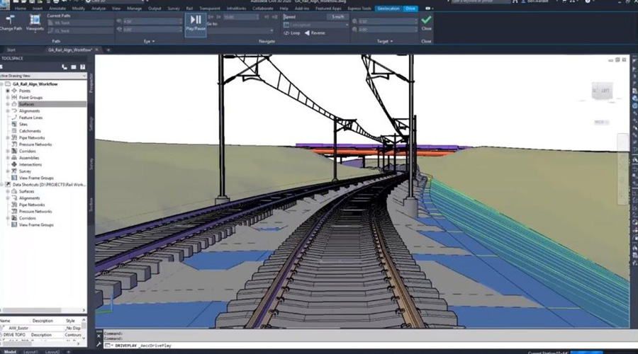
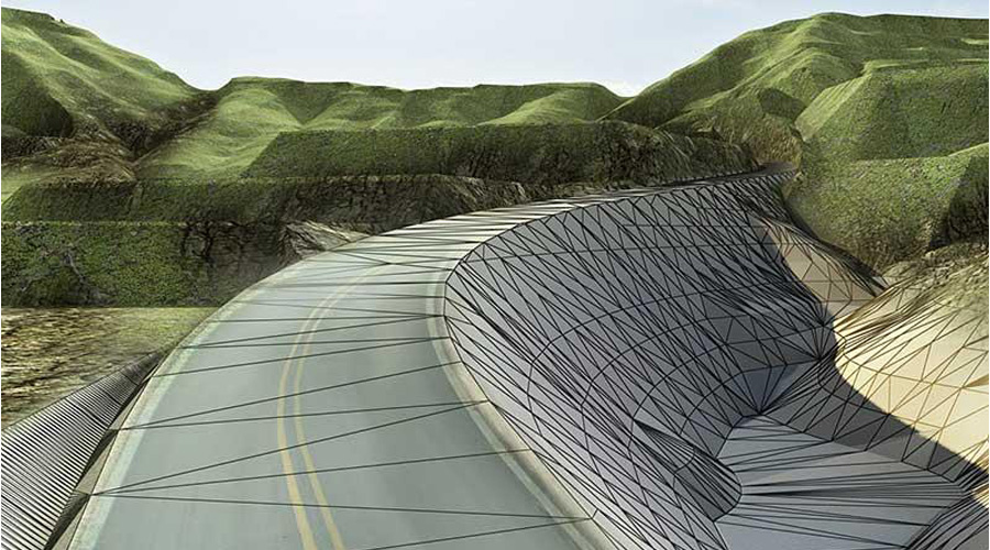
For all your infrastructure needs there is only one solution AutoCAD Civil3D
- Feature lines
- Parcel Design
- Grading
- Utilities
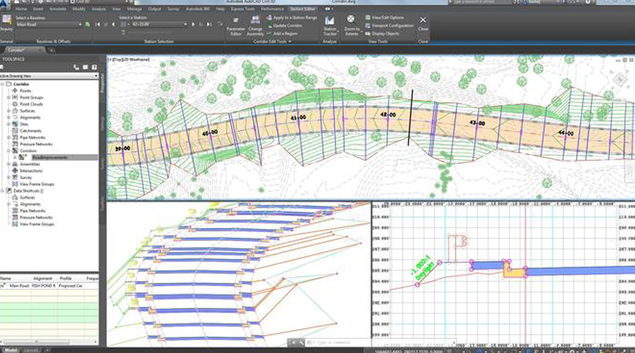
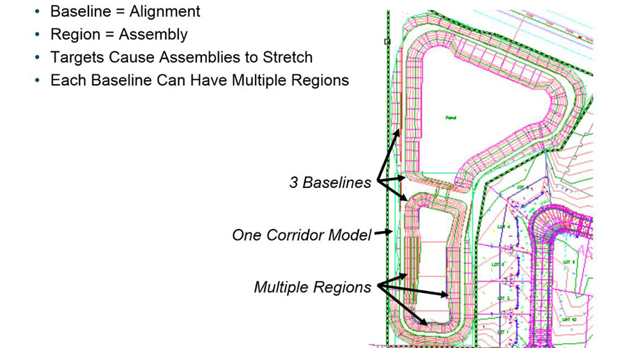
- Corridor Design
- Intersections
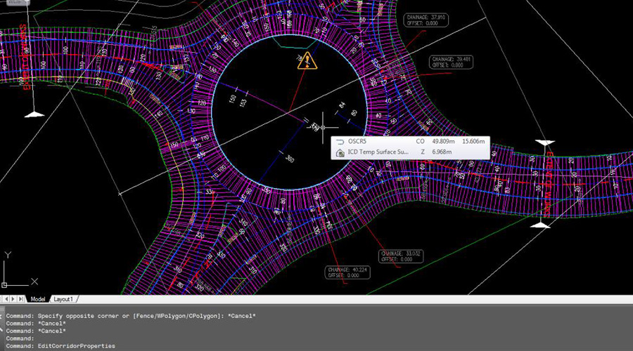
- Roundabout
- Geometric Design
- Surface Analysis
- Contours
- Breaklines
- Label styles
- Points
- Surface modelling
- Plan production
- Layout settings
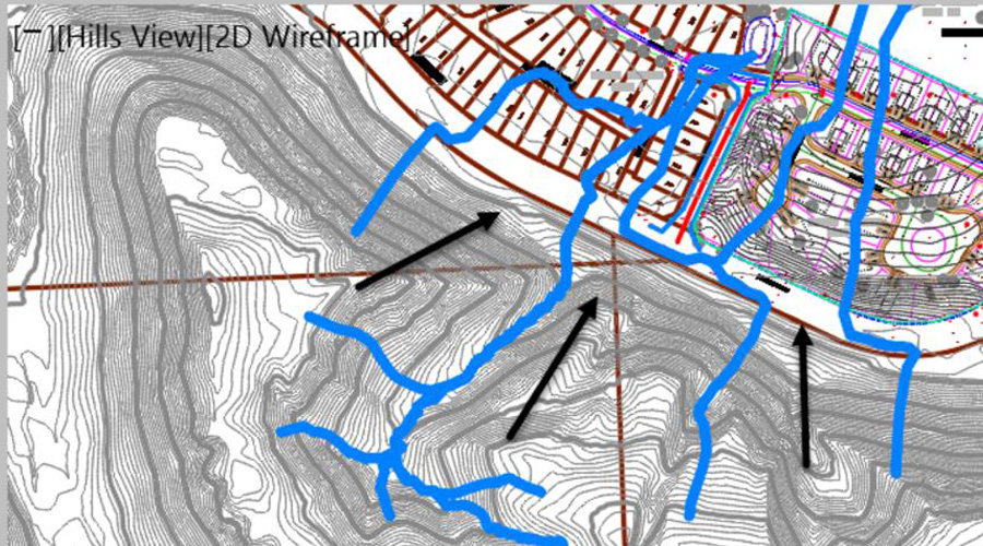
Land development and survey
Site development for cut fill balancing depending on the type of survey (can be normal survey or any other type of survey)
Roads and highways, land development, rail, airports, and water
Capable of design variety of civil infrastructure project types with every input possible and all output reports are readily available
Cloud modelling (Terrain)
Modern techniques are also compatible with this software for terrain modelling
Alignment
Geometric design for any specific continent or country is available with full theoretical explanation of concept and its applications
Profiles
Profile design for giving a best experience of levels and connecting elements for getting a better visibility for roads, and for any cut fill balancing of the required road or any sort of small area to be developed
Corridors
Selecting the best section to be applied with all technical specifications, related to roads and better theoretical explanation about using tool pallet for assemblies and sub-assemblies to develop a corridor
Quantities
Earthwork volumes, material volumes and total cut fill with multiple methods to avoid any approximation errors, we all method even for a small quantity
Apart of all these main features available software is capable of handling multiple entities, like polylines and alternatives to be used for short & small projects, below are the topics we always include for training proposes:
- Learning the template setting
- Preparing subassemblies using polylines
- Using 3D polylines and feature lines as elevation targets
- Using xref as Targets
- Dynamic production of Drawings
- Data Shortcuts
- Sessions
- Projects
- Students’ projects
- Project data management
- File handling
- Data handling
- Source information
- Design Engineering
Connect for AutoCAD Civil 3DOnline Training Courses at Caliber Training & Services
With integrated capabilities to better drafting, design, and construction documentation, AutoCAD Civil 3D civil engineering design software supports BIM (Building Information Modeling).If you are interested in AutoCAD Civil 3d online training courses, Caliber Training & Services can help you!
Grading Optimization for Civil 3D
Carry out grading design studies in accordance with project limits. Grading Optimization only helps in Civil 3D projects as part of the Architecture, Engineering & Construction Collection.
- Time-consuming grading activities may be automated.
- Explore several options in order to get the best grading solution.
- Return to Civil 3D for a comprehensive design of the chosen grading proposal.
Project Explorer for Civil 3D
When you take an AutoCAD Civil 3D course in USA, you’ll learn how to browse, view, and interact with Civil 3D design models in a whole new way. The Architecture, Engineering, and Construction Collection is the only way to get Project Explorer in Civil 3D projects.
- Simplify the process of reviewing and changing designs.
- Validate that the design goals have been reached in a timely manner.
- Automate the creation of bespoke reports and tables.
Course Objectives
Those with a background in surveying and civil engineering may take advantage of the AutoCAD Civil 3D training near me. The software’s dynamic design feature allows for the quick construction of alternatives using model-based design tools. Students may learn how to manage project data, build and analyze surfaces, construct parcel layouts, road corridors, and network layouts by enrolling in this Civil 3D online training.
Role in the Industry
When it comes to software, the majority of AutoCAD Civil 3D clients come from the construction and civil engineering industries.
Course Highlights
Being the best institute AutoCAD Civil 3D Course, Caliber Training & Services offers Civil 3D courses, intending to give users a whole experience of the software.
This course of AutoCAD Civil 3D by the AutoCAD Civil 3D trainer near me intends to give users a comprehensive experience of the software. Civil 3D models and related outputs will be taught via hands-on activities and projects. Students will be able to do the following after completing this course:
- Use the AutoCAD Civil 3D user interface to go around.
- Work with survey statistics and create point groupings.
- Surfaces may be created, edited, and analyzed.
- Survey of LiDAR
- Alignments are created and edited.
- Make solutions for grading
- Carry out a quantity takeoff and a calculation of the earthwork.
- Roundabout, corridor, junction, and pipeline network design
Differentiator
The learning technique for the subject at Caliber Training & Services is based on students’ learning needs, allowing students to study in a most appropriate manner for their skill set, schedule, and knowledge. You will get an AutoCAD 3D Training Certificate upon completion of this course.
Who should enroll in this program?
This course is open to anybody interested in advancing their civil engineering career. This course is also appropriate for civil engineers, civil engineering drafters, surveyors, utility engineers, and stormwater engineers who work with AutoCAD Civil 3D.
We are the right Civil 3D trainer for you. Contact us at Caliber Training & Services for Civil 3D training near me today!
3 Reviews
Very helpful as I was not sure of all the steps to complete tasks in the corridor portion of AutoCAD civil3d. I feel confident I can ask them again for help in the future should I need it.
The trainer is very good! He taught me some basics on how to get grids in place, detail level, add a conduit, and set up the screen for maximum usage, all of which helped me feel more confident in opening and using the software. Thanks

